Thermal camera

Ultimate
Multisensor
Thermal Camera
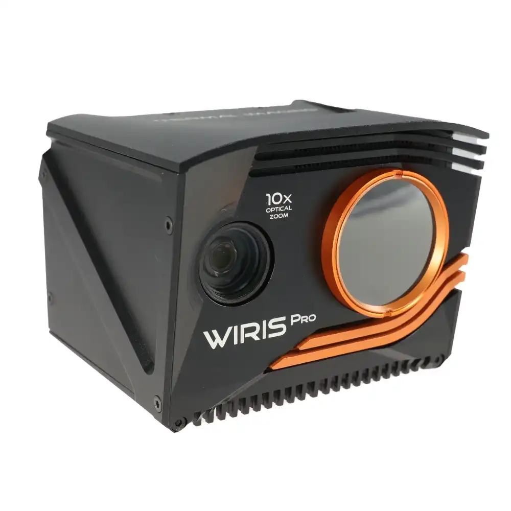
The Workswell WIRIS® Enterprise SC is an advanced multisensor thermal camera designed to deliver unmatched thermal imaging capabilities for a wide range of applications, including geological, archaeological, forestry, ecological, and environmental research. Specifically designed for use with unmanned aerial vehicles (UAVs) and ground vehicles (UGVs), this camera offers exceptional thermal sensitivity and precision for even the most challenging field conditions.
Equipped with a suite of advanced sensors and powered by WIRIS OS, the camera provides full real-time data streaming and comprehensive control during flights. The combination of superior image resolution, cutting-edge software support, and seamless integration with various platforms makes WIRIS® Enterprise SC an invaluable tool for professionals requiring the highest level of performance in demanding industries.
Features
The Workswell WIRIS® Enterprise SC combines advanced thermal and optical technologies to deliver precise data for UAV/UGV applications. Designed for demanding environments, it offers exceptional thermal sensitivity, high-resolution imaging, and powerful zoom capabilities, making it an ideal solution for inspections and research across various industries.
30x Optical Zoom
1266 px Thermal Resolution
0.03 °C Sensitivity
Thermal Imaging Excellence
The WIRIS® Enterprise SC is equipped with a high-performance thermal camera offering a resolution of 640 x 512 px and a spectral range of 7.5 – 13.5 µm. With its Super Resolution Mode, the camera enhances thermal image resolution to 1266 x 1010 px, providing superior image clarity for detailed inspections. This level of thermal sensitivity (30 mK) allows for the detection of even the smallest temperature differences, making it ideal for a wide range of professional applications such as environmental monitoring and industrial inspections.

Laser Rangefinder for Accurate
Distance Measurement
The WIRIS® Enterprise SC integrates a laser rangefinder capable of measuring distances from 10 to 1500 meters with high accuracy. This feature is essential for precise measurements in fields like geological surveys, infrastructure inspections, and aerial mapping. The rangefinder is designed to be eye-safe (EN 60825-1:2015-07 compliant), ensuring safety during operation while delivering reliable and accurate distance readings for detailed project planning and analysis.
Rugged and Weatherproof Design
Designed to withstand the harshest conditions, the WIRIS® Enterprise SC is built with a durable aluminum body and offers an optional IP66 rating with protective accessories, ensuring that the camera remains operational in challenging weather and environments. With an operating temperature range from -15 °C to +50 °C, and an internal memory for high-speed data storage, this camera is perfect for long-duration field operations in any climate, whether used for aerial surveys, research, or critical industrial inspections.
Comprehensive Software Suite
The camera comes with an advanced software ecosystem, including the WIRIS OS for seamless operation and real-time control, along with Thermolab for in-depth thermal image analysis. These software tools offer enhanced functionality, such as GPS geotagging, customizable temperature settings, and automatic data processing. Additionally, SDKs for MavLink, CANbus, and Ethernet provide easy integration with UAV and UGV platforms, streamlining workflows and ensuring that users have full control over their data.
Dual RGB Cameras for Versatile Imaging
This camera features two RGB cameras: one with a 16 MPx resolution for high-detail imagery and another with Full HD resolution and an impressive 30x optical zoom. These cameras ensure that users capture both wide-angle views and zoomed-in, high-definition images with precision. The advanced zoom capability, combined with vibration compensation, makes it perfect for real-time security applications, detailed terrain mapping, and high-resolution image capture during inspections.
Technical specifications
Basic specifications
| Laser rangefinder | Distance measurement 10 to 1500 m (32 to 4920 ft), divergence: 1.4 x 0.4 mrad |
| Temperature ranges | -25 °C to +150 °C and -40 °C °C to +550 °C |
| IR camera resolution | 640 x 512 pixels |
| IR Super Resolution Mode | 1 266 x 1 010 pixels (improvement of native resolution up to 1.3 Mpx) |
| Temperature sensitivity | Standard 0.03 °C (30 mK) |
| Accuracy | ±2 % or ±2 °C (in temperature range -10 °C to +150°C and 0 °C to +550°C, after stabilization) |
| Frame rate | 30 Hz or < 9 Hz |
| Internal Memory | High-speed SSD 128GB or 256GB for image and video recording |
| External Memory | Slot for Micro SD card & USB 2.0 for USB stick for taking images |
| GPS tagging (image & video) | MavLink, External GPS (NMEA) or DJI A3 compatible via CANbus |
| Remote control system | real-time control of all camera functions during the flight via onboard WIRIS operating system |
| Operation temperature range | -15 °C to +50 °C |
| Storage temperature range | -30 °C to +60 °C |
| SDK Libraries | Stream SDK, Data SDK, CANbus & UART SDK in the package |
| Dimensions | 76 x 107 x 102 mm |
| Weight | < 680 g including Rangefinder, without IP protection cap |
| Power Supply | 9 – 36 VDC, 2-pin HARTING connector, 18W average (21W peak) consumption |