Minesweeper

Tactical UXO
& Mine Detection
System
TXR Minesweeper leverages advanced geomagnetic prospection, thermal imaging, and high-resolution visual data, fused through machine learning algorithms to deliver precise threat localization. This dramatically increases detection efficiency and reduces mission time, enabling faster and safer clearance operations.
Features
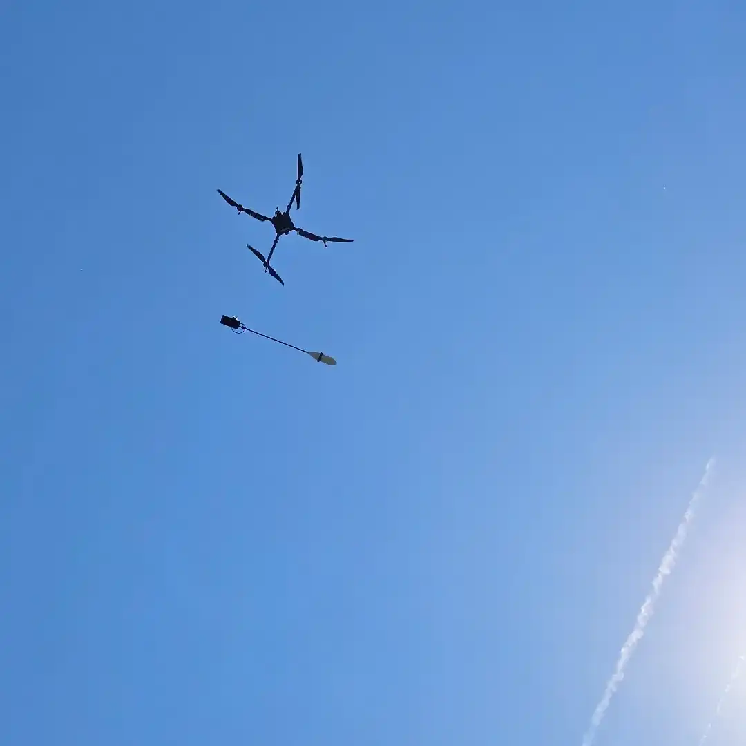
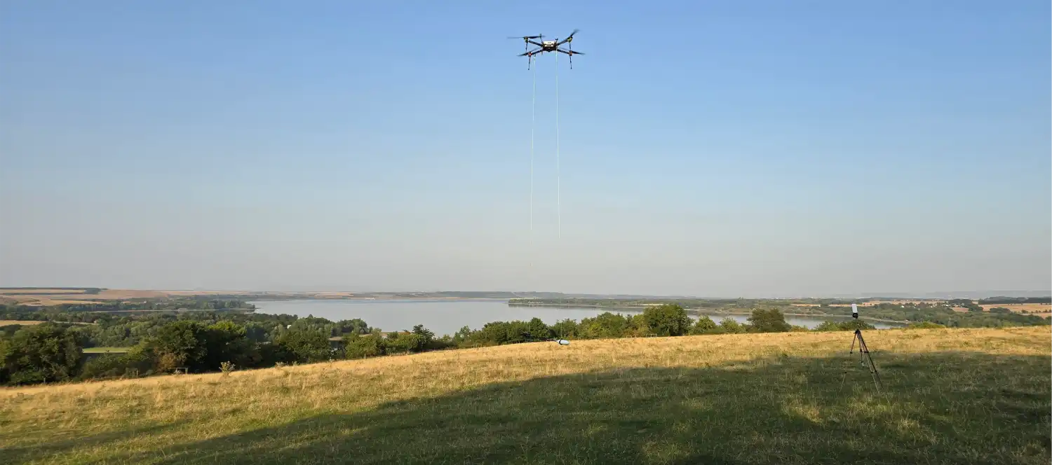
Designed as a mission-ready aerial detection system, the TXR Minesweeper combines advanced magnetometry, thermal imaging, and high-resolution optics to deliver precise and reliable UXO and landmine localization. Built on the long-endurance ALBA-1300-HEQ UAV platform, it ensures rapid deployment and efficient coverage across diverse terrains.
Coverage > 2 ha per hour
Short time deployment
Detection Accuracy ≤ 1.5 m
Geophysical-Grade Magnetometry
Equipped with the PPM-4-UAV Proton Precession Magnetometer, the system detects subsurface anomalies with exceptional precision, ensuring accurate localization of mines and UXOs even in challenging terrain.

AI-Powered Detection
Advanced machine learning algorithms fuse data from multiple sensors to automatically identify, classify, and georeference potential threats, enabling faster and more reliable decision-making in the field.
Seamless Data Integration
All collected data is processed in real time and delivered through standard military protocols, providing direct interoperability with command and control systems for streamlined mission planning and execution.
Technical specifications
| Platform | ALBA-1300-HEQ RTK UAV with extended flight endurance |
| Sensor Suite | PPM-4-UAV Proton Precession Magnetometer (mine detection configuration), High-resolution thermal + optical cameras for target confirmation |
| Software Capabilities | Real-time sensor fusion and automated detection, Georeferenced data output compatible with military mapping systems |
| Interoperability | Seamless integration with C2 systems via standard military protocols |
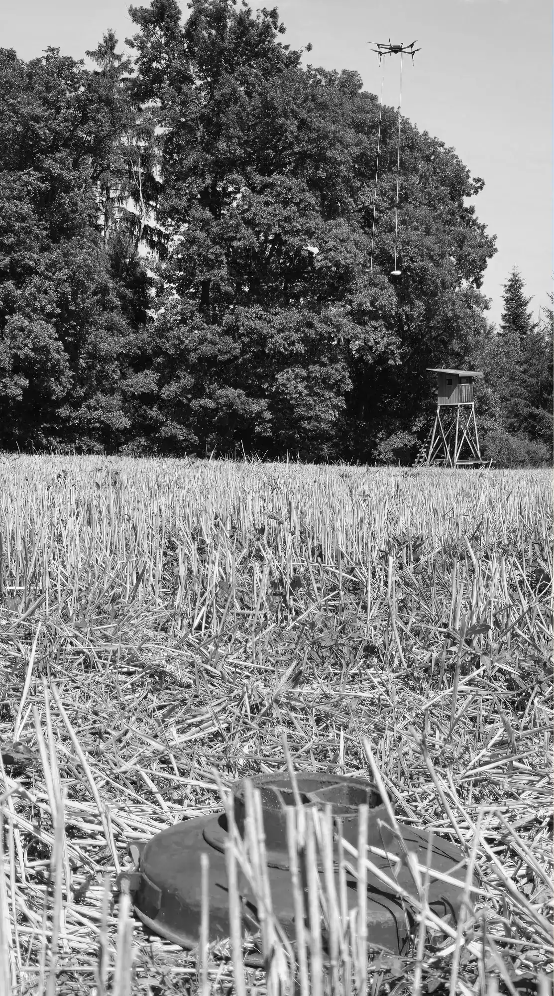
| Field Validation | Tested against Soviet-era anti-tank mines (TM-46, TM-57, TM-62) |
| Detection Accuracy | ≤1.5m at 2m altitude with 2.5m flight path separation |
| Scanning speed | >2 hectares scanned per 1-hour flight (150m x 150m grid) |
