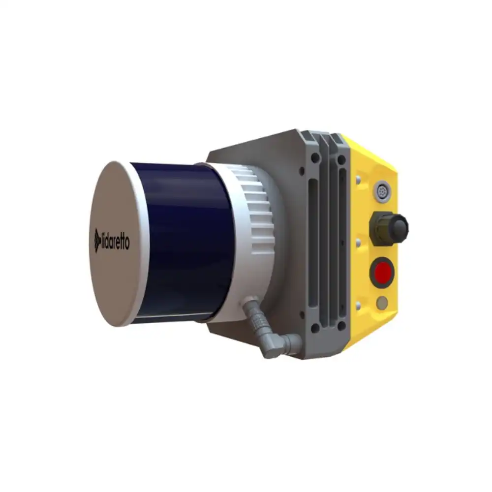
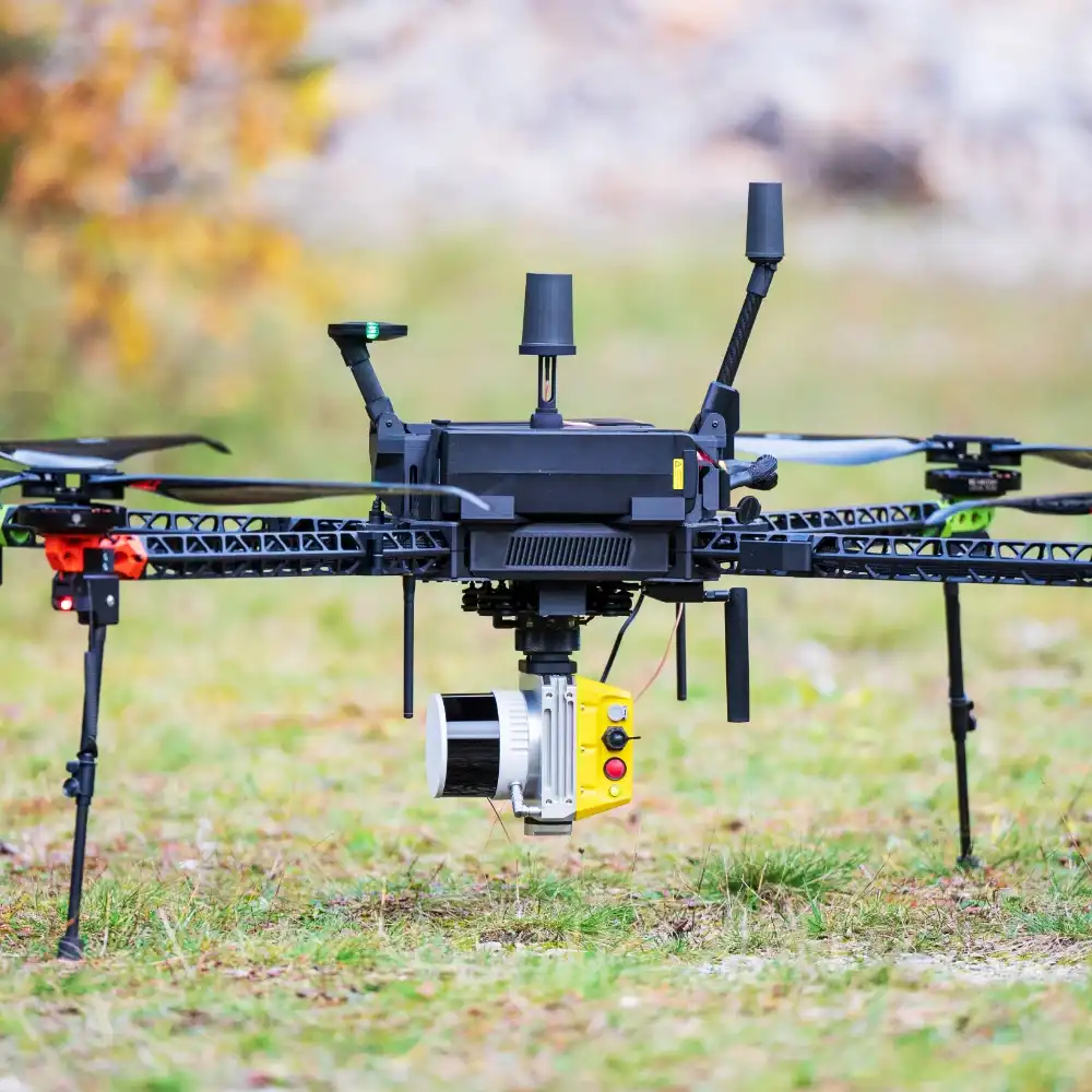
Lidar scanner

Precision at Your Fingertips
The Hesai XT32 and XT32M2X (H32X) Lidar sensors represent cutting-edge technology in the field of remote sensing, offering exceptional range and precision for a variety of applications. Designed for professionals who demand the highest accuracy, these sensors are ideal for UAVs, vehicles, and portable use, delivering reliable data even in the most challenging environments.
With GNSS integration and high-precision IMU, the series guarantees millimeter-level accuracy in position and orientation, making it an essential tool for precise mapping, surveying, and autonomous navigation. Whether you’re working in geospatial, environmental, or autonomous vehicle fields, the Hesai XT32 is the perfect lidar solution for high-resolution point clouds and data collection.
Features
The Hesai XT32 series is designed to deliver exceptional performance across a wide range of applications. Combining high-precision lidar technology with advanced GNSS and IMU integration, it ensures accurate data collection in even the most demanding environments. With a rugged IP67-rated design, flexible mounting options, and RGB colorization capabilities, the XT32 series provides unmatched versatility for UAV, vehicle, and backpack-mounted deployments. Below are the key features that make this lidar system an industry leader.
±1 cm Accuracy
120 m Range
IP67 Rating
Connectivity and Integration
The Hesai XT32 lidar series supports robust connectivity with advanced GNSS receivers and multiple signal capabilities. Equipped with a Novatel OEM7 receiver, it supports GPS, GLONASS, GALILEO, and BEIDOU signals, providing high-precision positioning for any application. The addition of dual GNSS capability further enhances its versatility in complex environments, ensuring optimal performance in both urban canyons and remote areas.
Precision and Accuracy
With the XT32’s GNSS accuracy at 1-2 cm and the integration of a high-precision IMU, users can trust that every measurement and orientation is captured with unrivaled accuracy. This high-level precision makes the Hesai XT32 an excellent choice for professional mapping, surveying, and autonomous systems requiring detailed and reliable data.
Flexible Mounting Solutions
The Hesai XT32 lidar system is built for flexibility. Whether mounted on a UAV, vehicle, or worn in a backpack, it ensures seamless integration for a wide variety of applications. This adaptability, combined with custom cables and mounting systems, makes it a versatile tool for professionals working across different terrains and industries.
RGB Colorization for Point Clouds
The Hesai XT32 series offers multiple RGB camera options for point cloud colorization, making it ideal for applications that require visual data alongside the lidar data. This feature enhances the level of detail and understanding of the scanned environment, providing more context for decision-making in professional-grade applications.
Durability and Power Efficiency
With an operating temperature range of -5°C to +50°C and peak power consumption of just 24W, the Hesai XT32 series is built to perform in a range of environmental conditions while maintaining low power usage. The IP67 rating ensures that the lidar operates in harsh conditions without compromising its performance, while the power efficiency makes it suitable for extended use in the field.

Technical specifications
Basic specifications
| Maximum Range | 120m |
| Range Accuracy | ±1 cm (typical) |
| Returns | 2 |
| Durability | IP67, -20°C to +60°C |
| Operating Temperature | -5°C to +50°C |
| Power Consumtion | 15W (stable), 24W (peak) |
| GNSS Receiver | Novatel OEM7, 555 channels, SPAN-enabled |
| GNSS Signals | GPS, GLONASS, GALILEO, BEIDOU (L1/L2) |
| GNSS Accuracy | 1–2 cm (PP) |
| IMU Accuracy | Precise Heading, Pitch, and Roll |
| Mounting Option | UAV, Car, Backpack |
| RGB Option | Multiple cameras for point cloud colorization |